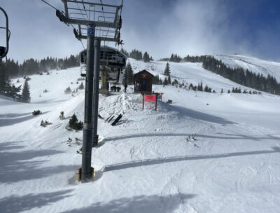
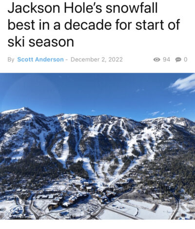
Great news that we finally see some significant accumulations headed our way….
Durango Snow Lovers-Durango’s Weather by Jeff Givens:
OPEN SNOW Summary:
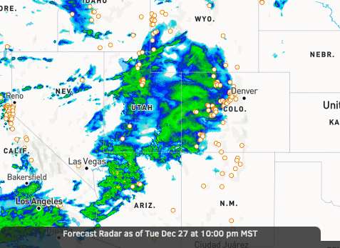
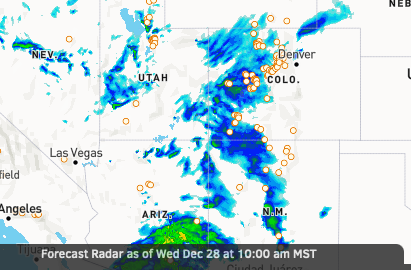
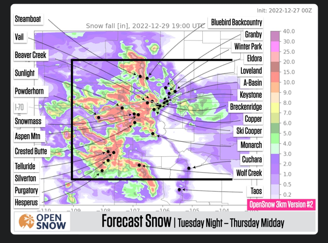
Tuesday will be dry, then we’ll see snow from Tuesday evening through Thursday midday. The majority of mountains could wind up with double-digit accumulations and the best powder will be on both Wednesday and Thursday morning. Then additional snow is likely Friday night through Saturday and again from Sunday through Monday.

